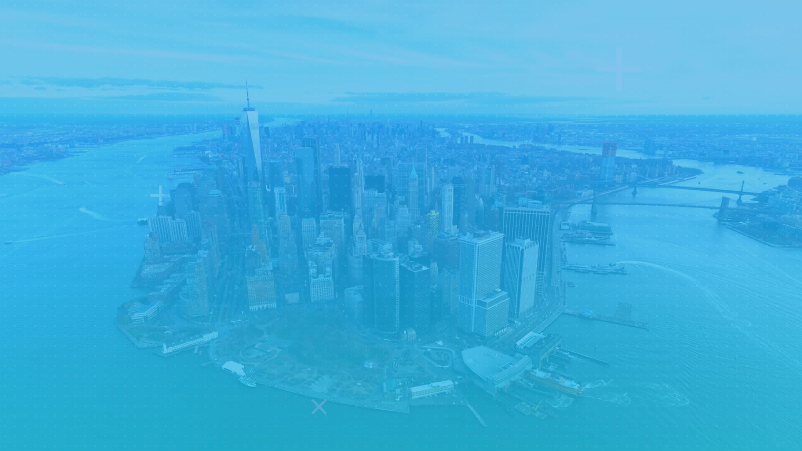


The Coastal Zone Boundary is an area in which New York City's Waterfront Revitalization Program (WRP) operates, together with the New York State Coastal Management Program. The coastal zone crosses both land and water that can impact coastal areas up to 300 feet inland, such as coastal wetlands, waterfront parks, floodplains, and other significant coastal areas. Federal events and facilities are not included in the WRP program. However, any local, state, or federal activities held within the coastal zone has to be reviewed by the WRP.
The WRP was established as the principal coastal management tool in 1982, and updated in 2002. The coastal borders in which the WRP operates reaches New Jersey, Nassau County, Westchester, and three miles into the Atlantic Ocean. The main objective of the WRP is to maximize benefits of all activities and developments organized and planned within the coastal zone boundary, as well as minimizing conflicts of all stakeholders. It supports commercial and residential uses in areas that are suitable. In other areas, it can allow usage of waterways for transportation purposes, protects buildings, structures, and natural resources from flooding, as well as protecting public health from polluted water and dangerous waste. (NYC WRP, 2016)
Properties and their location within the coastal zone can be traced in the WRP Coastal Zone Boundary Map, which has six types of special area designations:
Recognized Ecological Complex (REC)
Priority Marine Activity Zone (PMAZ)
Ecologically Sensitive Maritime & Industrial Area (ESMIA)
Significant Maritime & Industrial Area (SMIA)
Special Natural Waterfront Area (SNWA)
Coastal Zone Boundary